Lost and Found! How do I find my way back again! Join Ranger Jesse on an easy tutorial on how to use the Avenza App on your very own smartphone. This app is compatible with the geo-referenced TN State Park maps. Ranger Jesse will also talk about land management on a larger scale and how habitat restoration helps promote the growth of these rare elements.
Prior to arrival, download the free Avenza app in your smartphone. It is available for Apple and Android devices. The free version will let you have up to three maps uploaded into your app. The map Ranger Jesse will email you, should be uploaded to your Avenza beforehand. Ranger Jesse will provide instructions.
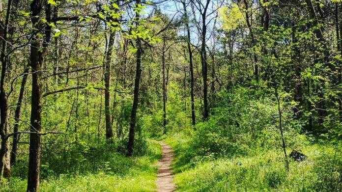
Participants will walk on dirt, rocky, and grassy trails on relatively flat terrain. Close-toed shoes are preferable. Bring Water, a smartphone with Avenza App loaded into it, water, and weather-appropriate clothing.
Difficulty: Easy/Moderate walk
Distance: Approx. Less than 1 Mile Round-trip
All revenue will be used on natural resource management projects.
September 11 from 5 – 6:45 PM
Meet at: Gravel Parking Lot at Intersection of West Richmond Shop Rd & Cedar Forest Rd; GPS Coordinates 36.093061, -86.371271
Price:
$10.00 / Participant + $2 Donation
$15.00 / Participant + $7 Donation
$8.00 / Participant
**Registration Required: After you are registered you will receive an email with additional details and map for this program**
Visit https://tnstateparks.com/parks/event_details/cedars-of-lebanon/#/?event=avenza-101-cedar-glade-exploration-9-11-21 for more information and to register.


