
Extreme Heat Warning
* WHAT…For the Extreme Heat Warning, dangerously hot conditions
with heat index values up to 110. For the Heat Advisory, heat
index values up to 105 expected.
* WHERE…A portion of Middle Tennessee.
* WHEN…For the Extreme Heat Warning, until 8 PM CDT this evening.
For the Heat Advisory, from 8 PM this evening to 8 PM CDT Thursday.
* IMPACTS…Heat related illnesses increase significantly during
extreme heat and high humidity events. Hot temperatures and high
humidity may cause heat illnesses.
Drink plenty of fluids, stay in an air-conditioned room, stay out of
the sun, and check up on relatives and neighbors.
Additional Weather Alerts
-
Heat Advisory
Heat Advisory issued July 30 at 11:14AM CDT until July 31 at 8:00PM CDT by NWS Nashville TN
Weather Alerts
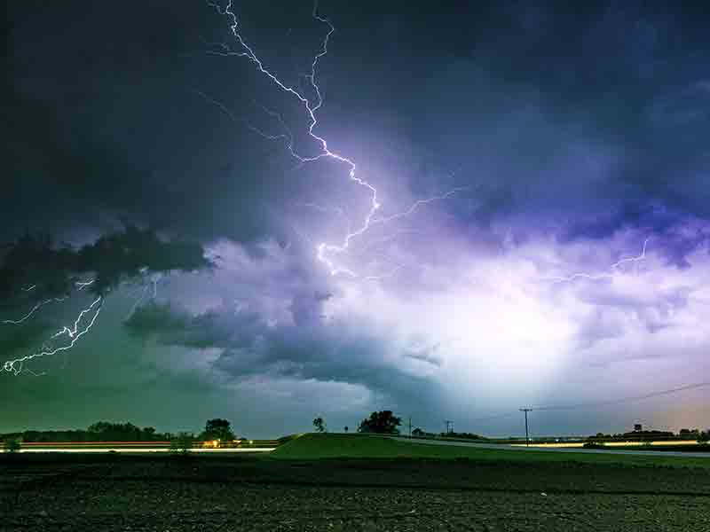
Severe weather conditions are currently being monitored in Wilson County, TN. An Extreme Heat Warning is in effect until 8 PM CDT today, with dangerously high heat index values expected. Additionally, a Heat Advisory will follow from 8 PM today until 8 PM CDT Thursday. Residents are urged to stay tuned for updates and remain weather aware.
Severe Weather Conditions
It’s currently 1:55 PM in Wilson County, TN, with a temperature of 88°F amid severe weather conditions. The humidity stands at 75%, creating a heat index that feels much hotter. Wind remains calm, contributing to the oppressive atmosphere. The sky is mostly clear, but that won’t alleviate the heat.
Temperature Shift Ahead
As the day progresses, temperatures are expected to reach a high of 94°F, which will significantly raise the heat index and make it feel like 110°F. The combination of high humidity and extreme heat can lead to heat-related illnesses. Therefore, even though winds are calm now, the heat will still feel intense.
Tonight’s Forecast
Looking ahead, temperatures will drop to a low of 72°F overnight, but high humidity will persist and keep conditions uncomfortable. During the evening, expect that heat index values will remain high, leading to a sticky and warm night. Be prepared and take necessary precautions against the continued severe weather.
L:72°

24-Hour Forecast
|
72°
|
71°
|
65°
|
66°
|
66°
|
66°
|
66°


Subscribe to our FREE Newsletter